CoLateral
Design Checker

Climatic Data Map - Canada

Interactive map lookup of NBC 2020 Appendix C climatic and Site Class C seismic values for major Canadian cities.

Design CheckerNBC 2020Design aid
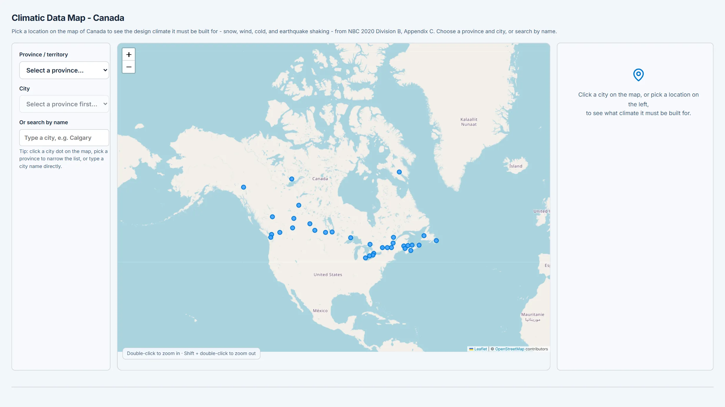
Climatic Data Map - Canada running in the CoLateral workspace
Climatic Data Map - Canada in the CoLateral desktop workspace.

What it does

Interactive map and search lookup of NBC 2020 Division B, Appendix C design climatic and seismic values (ground snow Ss, rain Sr, hourly wind pressures q, January/July design temperatures, degree-days, and Site Class C seismic Sa/PGA) for major Canadian municipalities. Click a city or search to view all values with copy/JSON/print export. Feeds the snow, wind, rain, and seismic load tools.

What it does not do

Curated dataset of major municipalities only - not the official Appendix C tables. js) as the Climatic Data and Roof Snow Load tools, so a given city returns identical values in all three; before 2026-08 the two climatic tools carried separate tables that disagreed for 27 of the 34 cities they shared. Hourly wind pressures and January design temperatures away from the major centres are still unverified against the published table.

No interpolation between locations. 4, and are on file for a subset of locations only - a blank means not transcribed, not zero.

How to use it

Use for quick design-value reference and to seed load calculations. Confirm every governing value against NBC 2020 Appendix C and the Earthquakes Canada 2020 NBC seismic hazard tool before design use.

Covers

loadsclimaticnbcnbc2020snowwindseismicreferencemap

Use Climatic Data Map - Canada in your own projects

Every tool ships inside the CoLateral desktop workspace, so a result can stay attached to the project, the drawing, and the review trail it belongs to instead of ending up in a loose spreadsheet.

Outputs are design aids and stay in draft until a qualified engineer reviews and approves them.