CoLateral
Reference Data

Climatic Data

NBC 2020 / OBC SB-1 climatic design-value lookup by province and city - snow, wind, rain, design temperatures, and elevation.

Reference DataNBC 2020Design aid
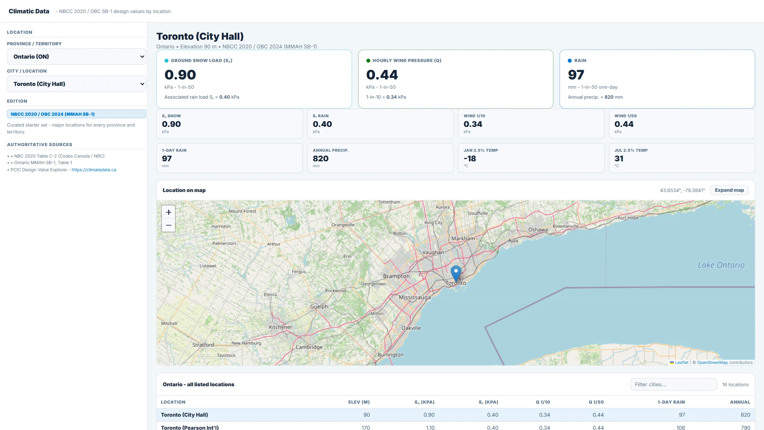
Climatic Data running in the CoLateral workspace
Climatic Data in the CoLateral desktop workspace.

What it does

Climatic design-value lookup in the format of NBC 2020 Appendix C, Division B, Table C-2 and Ontario MMAH Supplementary Standard SB-1. Province and city drop-downs output ground snow load (Ss), associated rain load (Sr), 1-in-10 and 1-in-50 hourly wind pressures, one-day and annual rain, design temperatures, and elevation. js) that the Climatic Data Map and Roof Snow Load tools read from as well.

The selected location is pinned on an interactive map (locally vendored Leaflet with OpenStreetMap tiles) using per-location latitude/longitude in the dataset.

What it does not do

Ships with a curated starter set of major locations for every province and territory, not the full ~680-location Table C-2. Values are indicative and must be confirmed against the official NBC 2020 Table C-2 or OBC SB-1 for the exact site before design. Hourly wind pressures (q10, q50) and January design temperatures away from the major centres have not yet been verified line by line against the published table.

Does not perform seismic, NBC sub-classification, or load-combination calculations.

How to use it

Use for preliminary site climatic-load lookups. Verify the governing values against the official code table for the specific location and edition before use in design.

Covers

climaticnbccobcsb-1snowwindrainloadsreferencetable-c-2

Use Climatic Data in your own projects

Every tool ships inside the CoLateral desktop workspace, so a result can stay attached to the project, the drawing, and the review trail it belongs to instead of ending up in a loose spreadsheet.

Outputs are design aids and stay in draft until a qualified engineer reviews and approves them.